This post and its associated photos are around two years old at time of publication, but remarkably little has changed along the route. I wasn’t able to find the time and to finish it off until now, but better late than never!
This is also the first of a three-part series. In the second part, we’ll move our focus to the CP freight tracks which border the path, and how they segregate two neighbourhoods. In part three, we’ll look at the potential opportunities afforded by the existing infrastructure for a local passenger rail line in the area.
I’m sure you’ve heard of New York’s High Line, but if you’ve not heard of it, the City of New York took an old abandoned elevated railway line and turned it into a truly fantastic public space.
Growing up in the UK around London, there’s plenty examples of disused railways being turned into walks. For example, the lovely Parkland Walk which follows a disused London Underground line from leafy Highgate to Finsbury Park. Or the Cole Green Way in rural Hertfordshire which traverses a long disused railway line between Welwyn Garden City and the county town of Hertford. Both of these routes have sections which are elevated similar to New York’s, and I think could qualify for the “High Line” moniker. Another example from North America is Toronto’s Beltline Trail.
And then, London upped the anti as it’s currently attempting to transform a section of elevated track in Camden Town into a green walking route.
With all these concepts of a high line currently in fashion, maybe London is also the first city to try and coin the term “Low Line”. In this instance it’s a route which follows the epic railway arches of South London, taking you along at ground level following an active railway line between London Bridge and New Cross. (The route has been well covered by the blog Hyde Park Now).
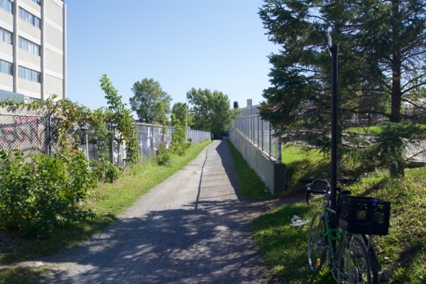
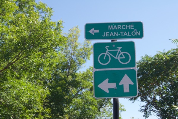
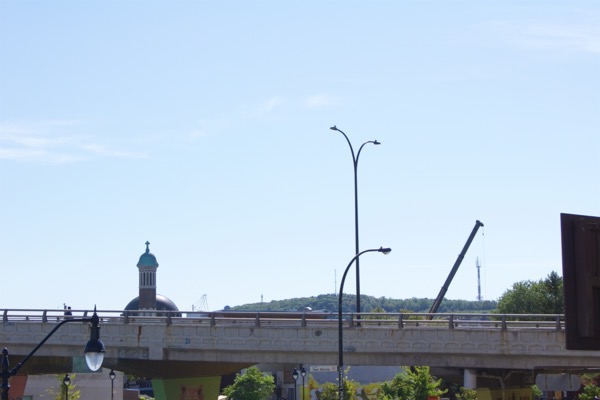
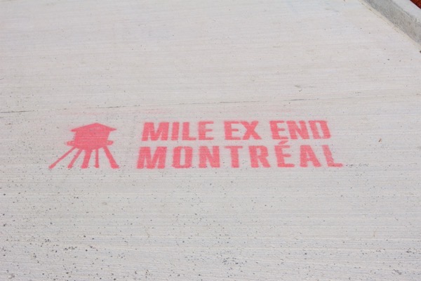
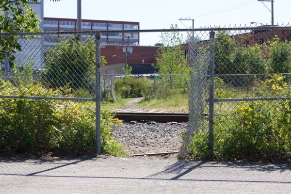
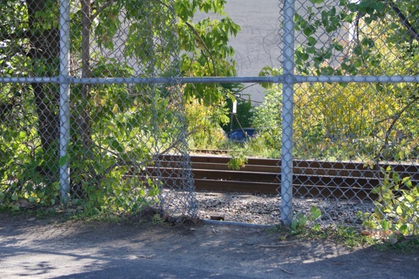
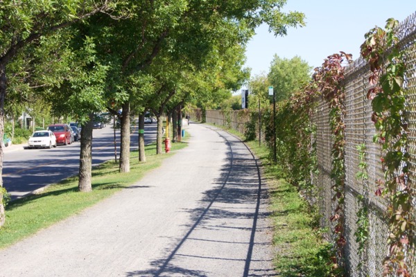
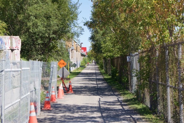
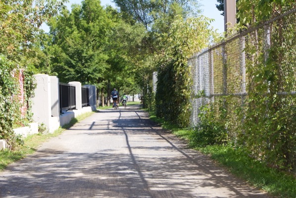
But let’s shift focus back to North America, because I think Montreal has its own Low Line, even if it’s not been branded as such. It’s a shared foot path and cycleway which leads from the Mile End into the heart of Vieux-Rosemont (Old Rosemont).
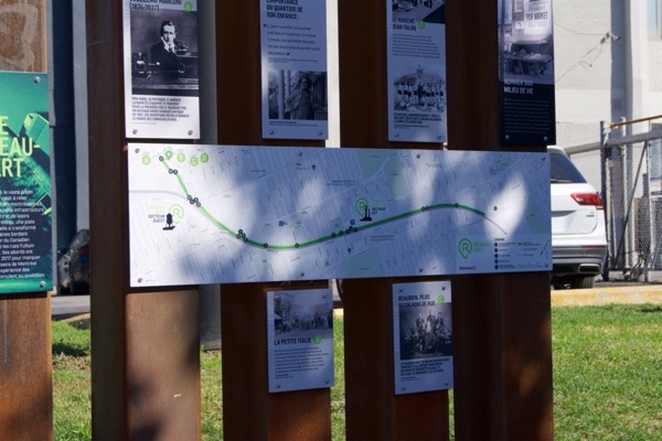
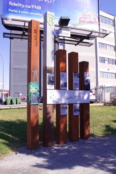
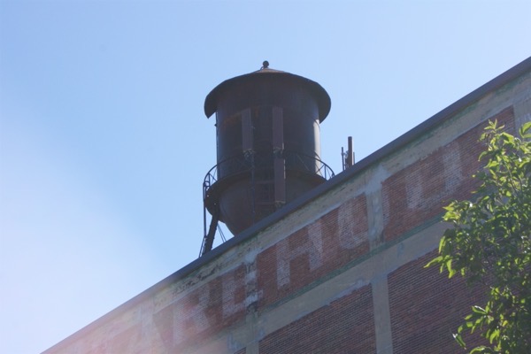
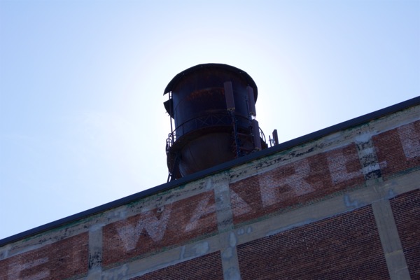
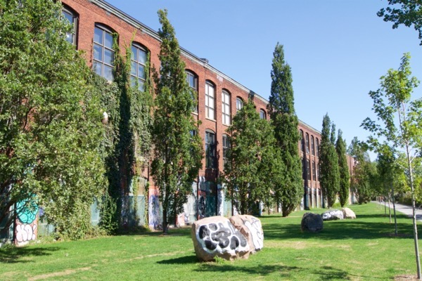
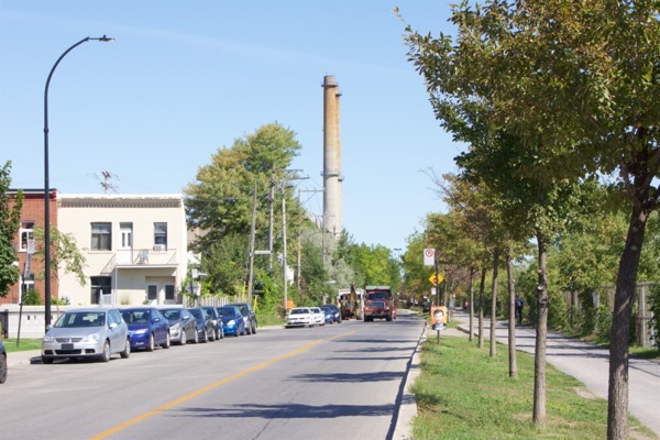
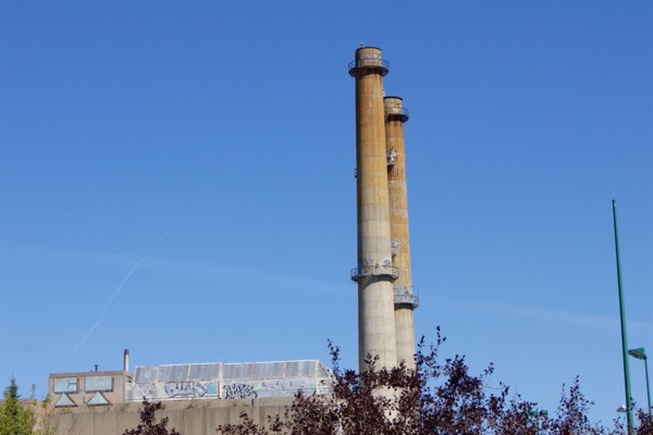
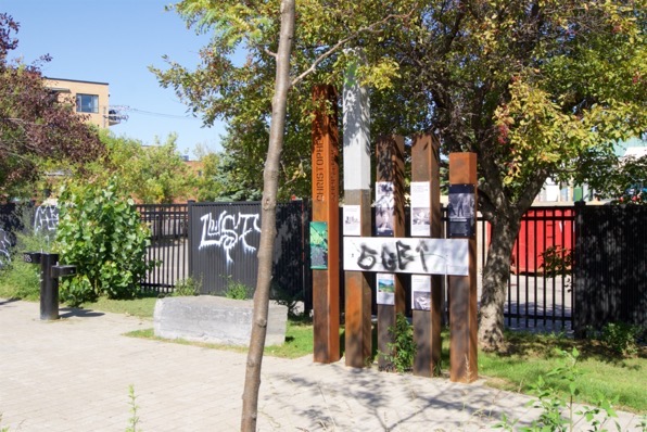
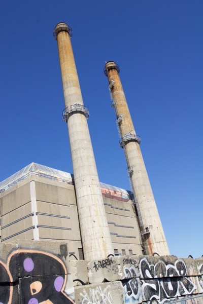
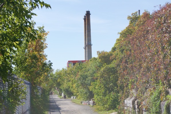
Branded the “Réseau-Vert” (Green Network) The route is split into two sectors, each dominated by its own local landmark: The infamous water tower in the Western end, and the soaring chimneys of the old incinerator in the East.
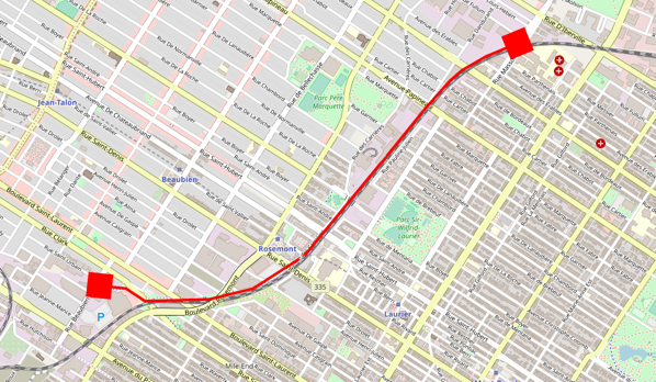
Above is a rough outline of the route I made using OpenStreetMap, but for more detail you can check out the waypoints on Google Maps.
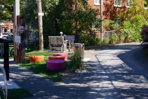
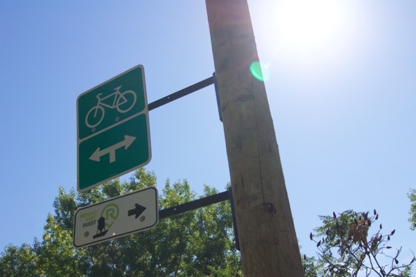
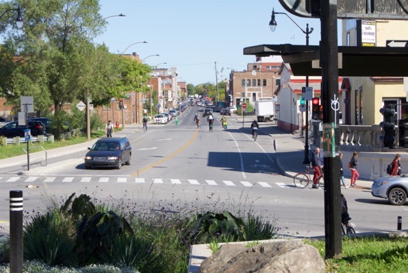
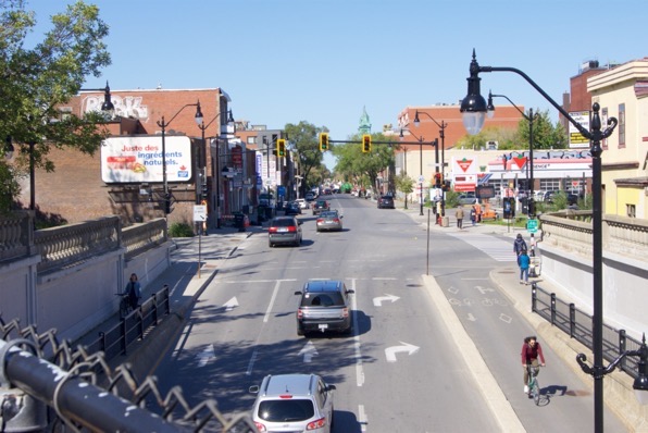
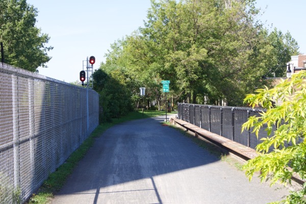
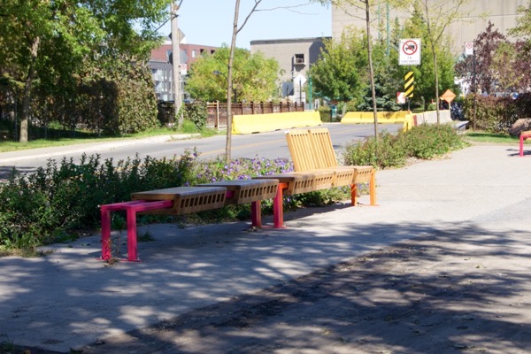
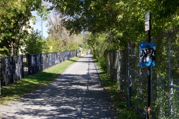
The pathway sees heavy usage during rush hour, providing an amazing shortcut from both the Mile End in the West and Vieux-Rosemont in the East with a Metro station in the middle. With plenty of Bixi stations located en route, you’ll beat any bus. Many cyclists continue Downtown, and indeed you can go all the way into the city centre without leaving a cycle path. In the early mornings and late evenings, there’s plenty of runners using the car-free route to work out and de-stress.
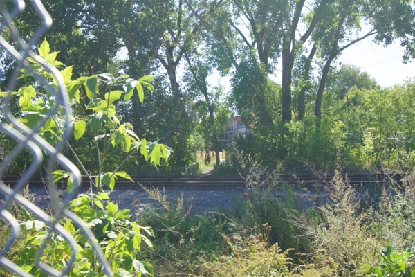
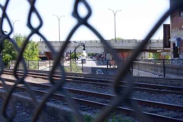
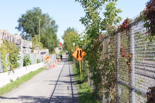
And in fact, being separated from the road network is one of the wonders of this path. Montreal does have something of a traffic problem to say the least, and it can be difficult to find any route between A and B which avoids a multitude of crossings with their associated waits. Since this path parallels the Canadian Pacific (CP) railroad tracks, it’s afforded the same luxuries as the railway line, of bridging over busy roads giving its users a non-stop run between two points. On the other side of the coin, there’s no proper segregation between cyclists and walkers, which can mean needing to have your wits about you if you’re on foot.
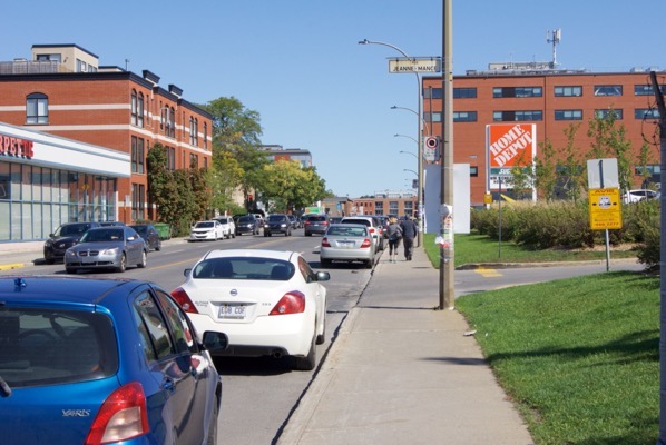
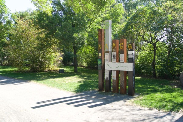
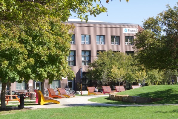
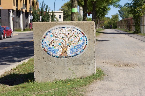
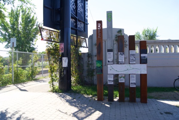
The path is entirely within the boundaries of the borough of “Rosemont—La Petite-Patrie”. Most of the areas the walk takes you along are industrial or post-industrial neighbourhoods. Think brew-pubs, converted lofts and startups, as the area is very akin in vibe to New York’s Williamsburg or London’s Shoreditch. Information signs along the way will take you through the history of the area.
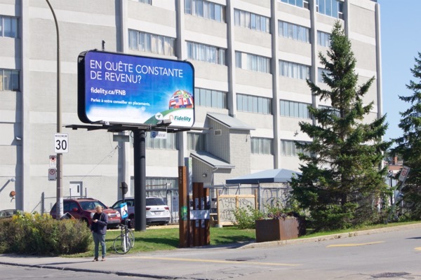
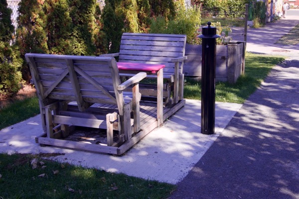
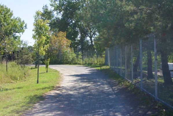
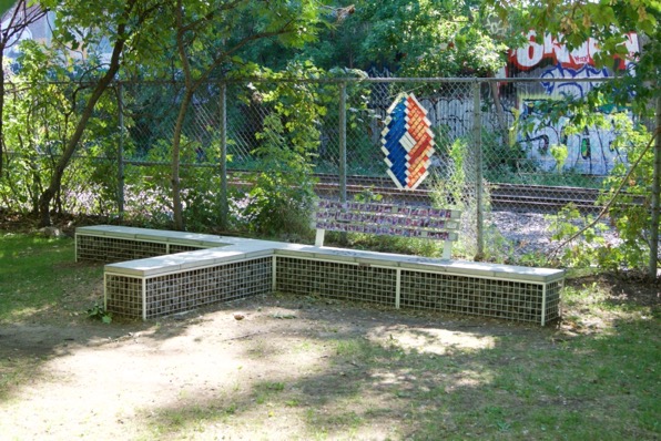
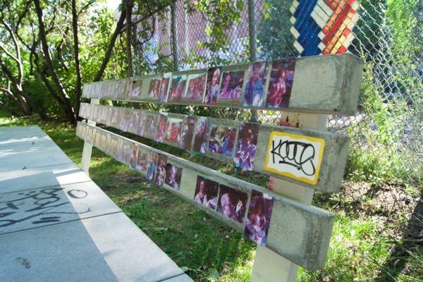
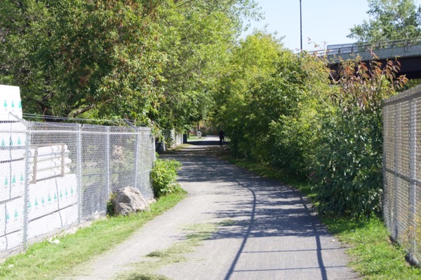
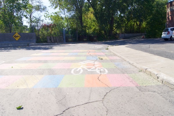
Since I took quite a few photos when I was last out there on a sunny day, please enjoy the photo essay below as we travel along the route from West to East.
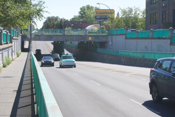
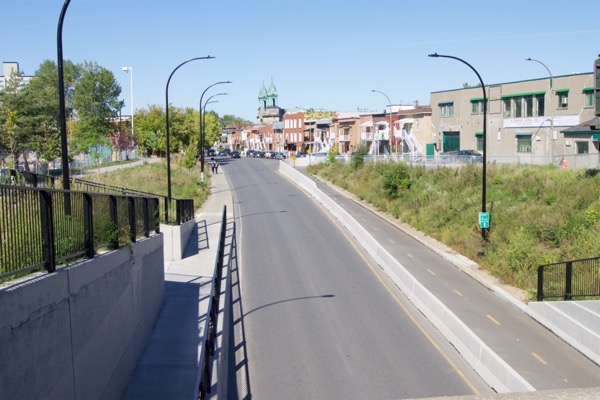
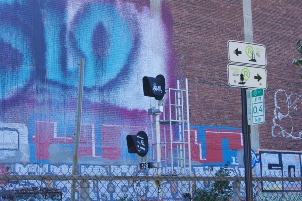
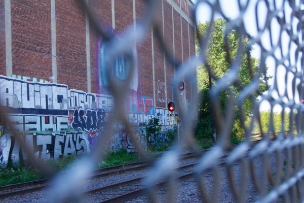
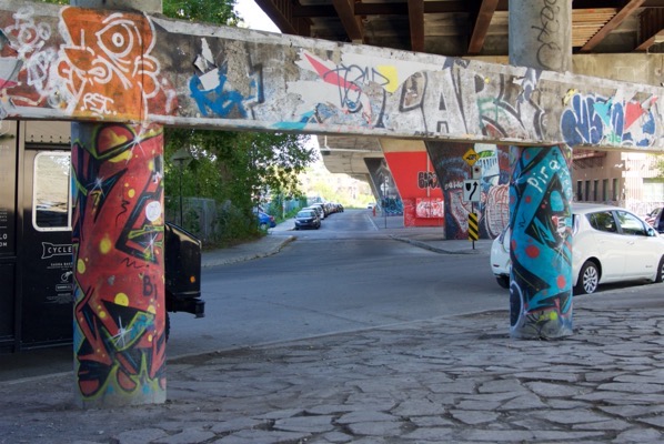
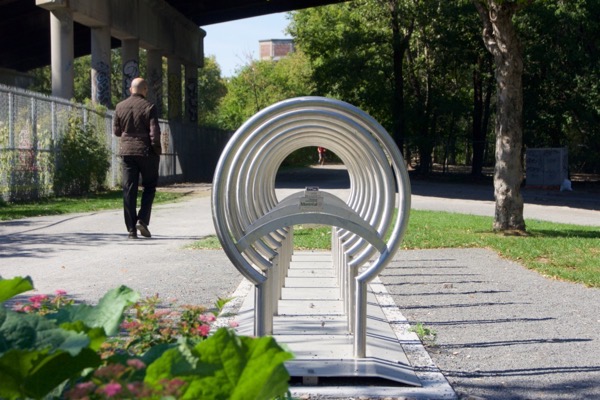
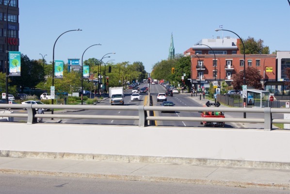

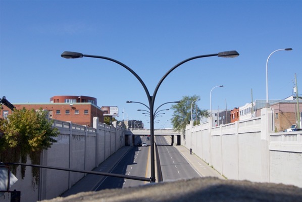
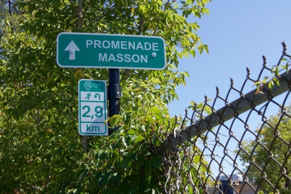
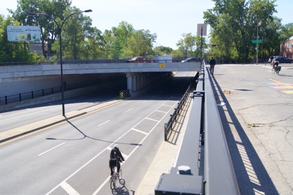
Another ugly underpass to end the route, but continue heading East a little longer to reach Promenade Masson with its vibrant array of shops, cafes and pubs.
If you’re visiting Montreal and want to experience this part of the city, it’s very easy to reach. Take the Metro’s Orange Line to Rosemont and you’ll find it winding its way to the South of the station. Walking to either end will give you the opportunities to experience the vibrant neighbourhoods of Rue Masson in the East, and the well known Mile End in the West. Bixi bike share stations in the area are plentiful.
Next time we’ll take a closer look at the underpasses which plague this part of the city.